No Products in the Cart


1. Superior Precision: Experience centimeter-level accuracy with MeasurNET’s RTK technology, ensuring your projects and operations achieve the highest precision, whether you're surveying land, conducting construction, or performing agricultural tasks.
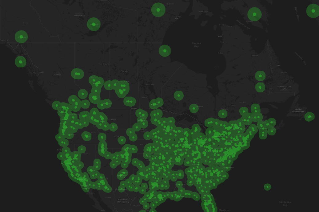
2. Extensive Coverage: Benefit from a vast network of reference stations across Canada and multiple countries, providing reliable GNSS corrections wherever your operations take you. This broad coverage ensures consistent and accurate data no matter your location.
3. Reliable and Secure Data: Enjoy peace of mind with MeasurNET’s advanced blockchain technology that ensures the integrity and security of your GNSS data. The system's continuous real-time monitoring means you receive dependable corrections with minimal risk of data errors.
4. Continuous Service: Rely on 24x7 real-time monitoring to keep your operations running smoothly. MeasurNET’s redundancy features provide additional stability and minimize service interruptions, ensuring you always have access to accurate GNSS data.
5. Enhanced Integration: Integrate with on-device sensors such as cameras, drones, LiDAR, and IMUs to enhance the capabilities of your autonomous systems and achieve more advanced and accurate results in your projects.
With MeasurNET, achieving centimeter-level GNSS accuracy is simple and hassle-free. Our network provides reliable, real-time corrections for professional applications in surveying, construction, and drones, all while offering extensive global coverage and continuous monitoring to ensure precise and dependable data whenever you need it.
MeasurNET delivers superior RTK service through its extensive global network of triple-frequency, full-constellation GNSS reference stations, ensuring centimeter-level positioning accuracy. Our network's continuously expanding coverage map makes achieving precise RTK-fix straightforward and reliable.
Each station is equipped with a geodetic-grade antenna, rigorously calibrated to high standards, and is monitored 24x7 using Precise Point Positioning (PPP) techniques. Corrections are provided through the NTRIP protocol and adhere to the RTCM3.2 standard, ensuring seamless compatibility with a wide range of GNSS equipment and delivering accurate, high-quality data for your applications.
RTK networks operate by using a network of fixed reference stations that collect and process GNSS data to generate accurate correction signals. These signals adjust for errors caused by atmospheric conditions and other factors, which are then transmitted to users in real-time. Instead of requiring a physical reference station at each user location, the RTK network simulates local reference stations to provide tailored corrections, ensuring high-precision positioning even at distant sites. Continuous monitoring and updates maintain the accuracy and reliability of the corrections provided.
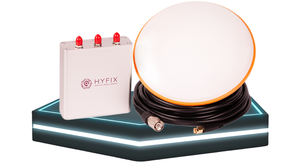
In an area without coverage? Install your own GNSS base station purchased from MeasurNET, get instant coverage in your area, and recoup your costs through GEOD tokens. The low cost of install combined with the affordable monthly and yearly subscription fees make MeasurNET the most affordable RTK network in Canada.


We would love to hear from you! Our team is always here to help.
+1 866 300 9012
contact@measur.ca
Vancouver, British Columbia
Calgary, Alberta
Mississauga, Ontario