+1 866 300 9012   contact@measur.ca
SHOPPING CART

No Products in the Cart

TOTAL:
$0.00

Top Features of the DJI Matrice 30T

The DJI Matrice 30T is engineered to excel in a variety of demanding environments, offering a suite of advanced features tailored for professionals in fields such as public safety, inspection, and search and rescue. Below, we’ll explore the top features of the Matrice 30T and how they are applied in real-world scenarios.

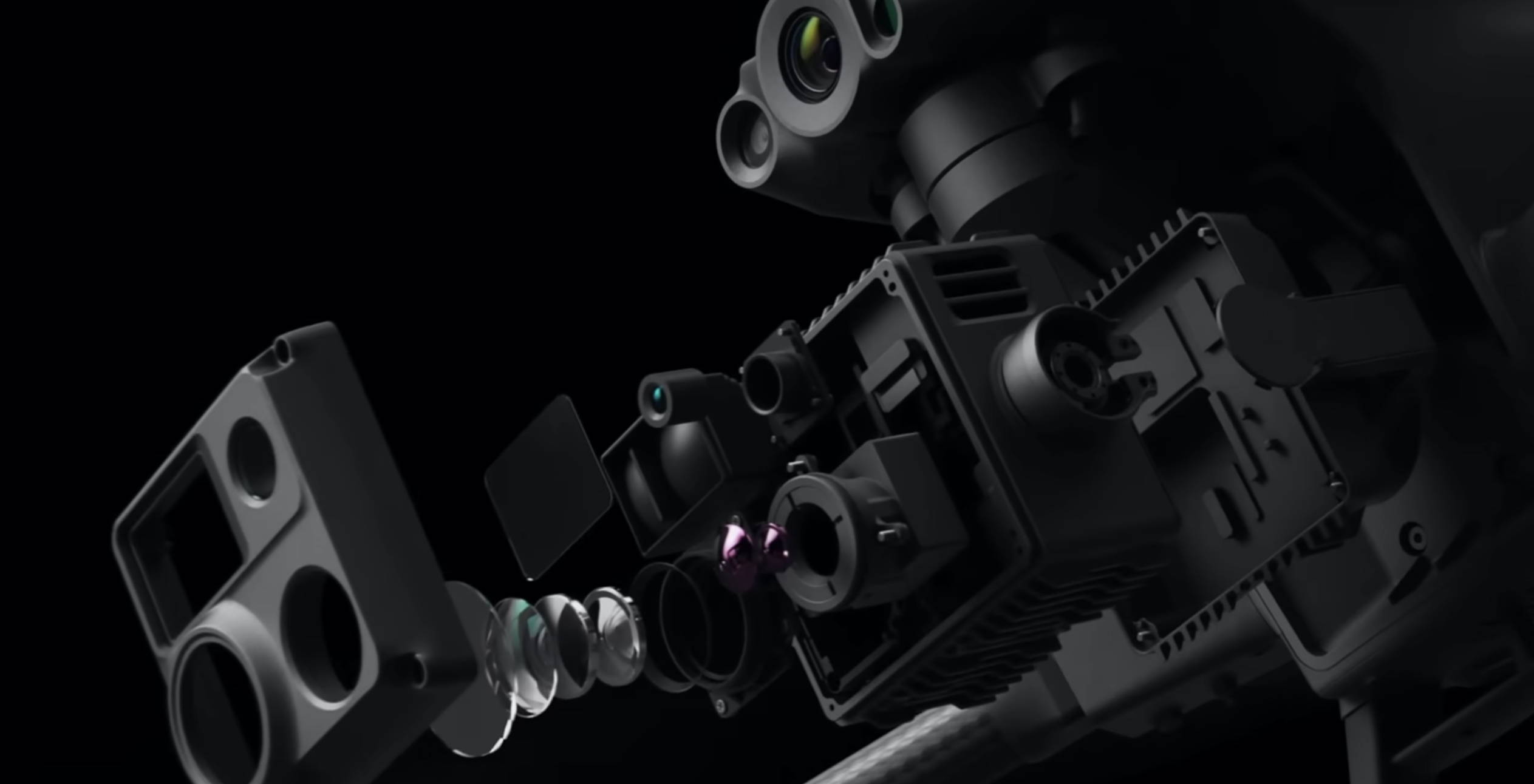
1. Advanced Multi-Sensor Payload

 48MP Zoom Camera: Captures detailed images with a 1/2" CMOS sensor.
• 12MP Wide Camera: Provides a broad field of view with a 1/2" CMOS sensor.
• Laser Rangefinder: Measures distances up to 1,200 meters.
• 640x512 Thermal Camera: Equipped with an uncooled VOx Microbolometer, offering a 30 Hz refresh rate.

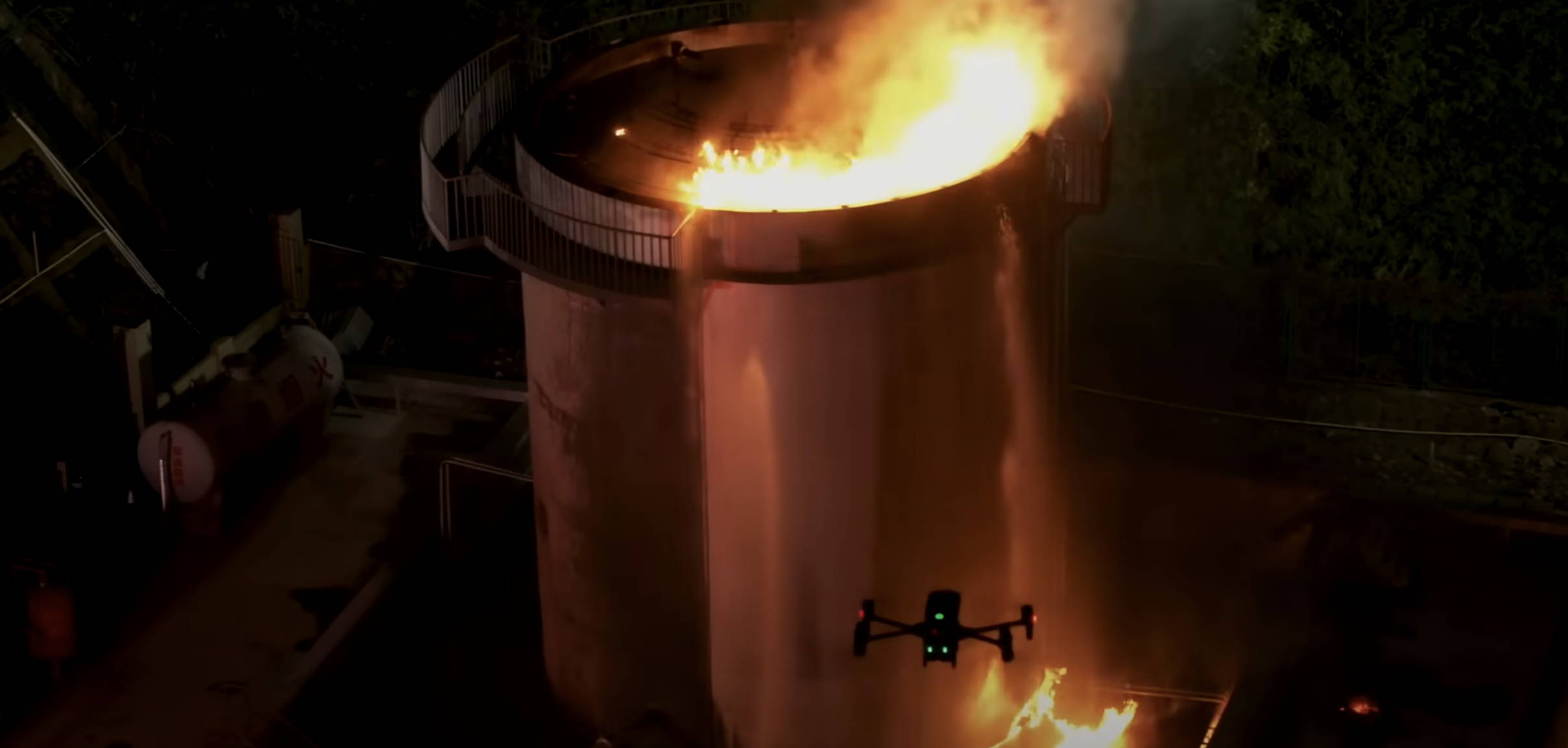
The high-resolution thermal camera of the DJI Matrice 30T proves valuable in search and rescue missions, particularly in low-visibility conditions such as night operations or dense smoke, allowing operators to locate individuals rapidly. Its zoom and wide-angle cameras further enhance the ability to pinpoint exact locations and assess situations from a safe distance. When it comes to thermal inspections, the zoom camera is essential for detailed inspections of high or hard-to-reach structures, like bridges and power lines, while the integrated laser rangefinder accurately measures and documents distances and dimensions during infrastructure inspections.

2. Exceptional Flight Performance

• 41 Minutes of Flight Time: Provides extended operational periods.
• Wind Resistance: Capable of withstanding winds up to 15 m/s.
• Maximum Speed: 23 m/s for quick coverage.
• Service Ceiling: Up to 4,000 meters.

The extended flight time of the DJI Matrice 30T enables prolonged monitoring of large areas, minimizing the need for frequent recharging, which is crucial for tracking animal movements and observing environmental changes. In emergency response situations, the drone's ability to operate in strong winds and extreme temperatures ensures reliable performance, making it ideal for rapid deployment in adverse weather conditions.

3. Enhanced Transmission System

• 15 km Transmission Range: Ensures long-distance control and video feed.
• Triple-Channel 1080p Video: High-definition streaming in real-time.
• Real-Time Auto-Switching: Automatically switches between 2.4 GHz and 5.8 GHz.
• AES-256 Encryption: Provides secure data transmission.

The long transmission range and high-definition video feed of the DJI Matrice 30T make it perfect for monitoring and streaming live footage of large-scale public events from a significant distance. Additionally, its secure data transmission ensures that sensitive information gathered during critical infrastructure inspections or surveillance is protected, a crucial feature for sectors like utilities and government facilities.

4. Powerful Vision System

• 6 Directional Sensing and Positioning: Dual-vision and ToF sensors on all six sides.
• Detection Range: Up to 40 meters.

The DJI Matrice 30T’s advanced sensing system is especially beneficial for inspection tasks in complex environments like industrial facilities or dense urban areas. Its thermal camera can detect heat signatures from malfunctioning equipment or electrical faults, while the obstacle detection system ensures safe navigation around tight spaces or high structures. This makes the Matrice 30T ideal for inspecting critical infrastructure such as power plants, refineries, and utilities, where identifying potential issues before they escalate is crucial for maintaining operational efficiency and safety.

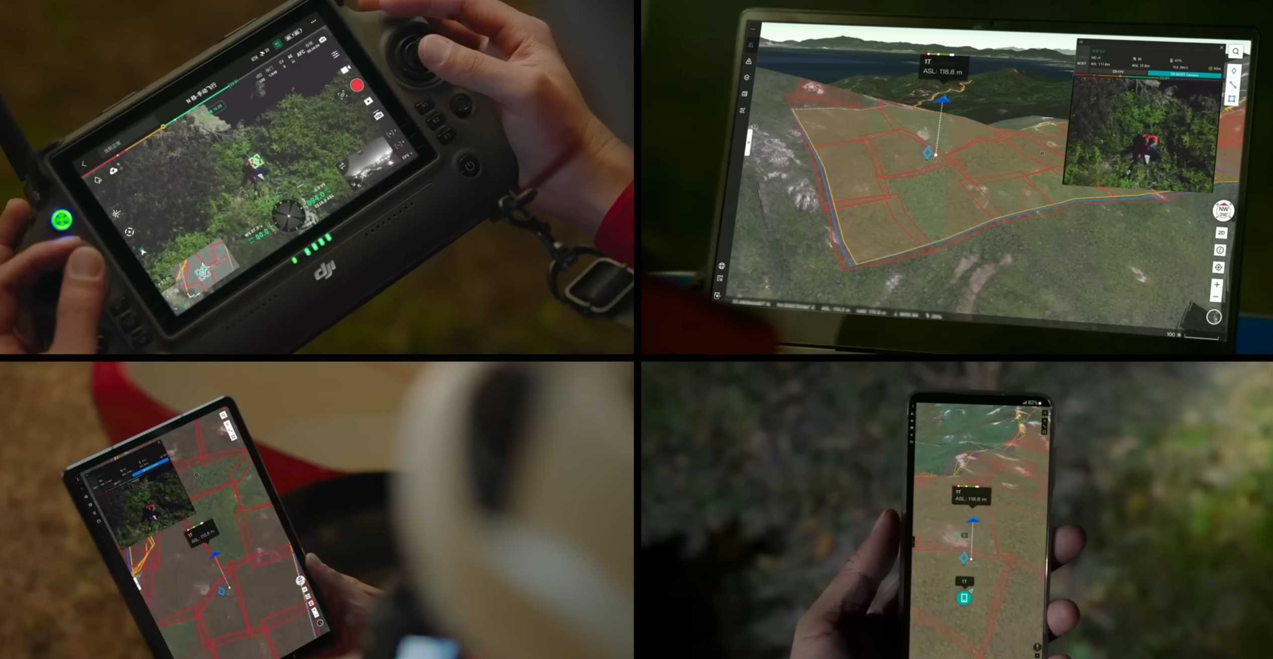
5. Innovative Remote Control (DJI RC Plus)

• 7-Inch Touch Screen: Clear, real-time display.
• IP54 Rating: Weather-resistant.
• Integrated Cellular Module: Supports 4G for network integration.
• Battery Life: Up to 6 hours of continuous operation with hot-swapping capabilities.

The DJI Matrice 30T's weather-resistant design and extended battery life allow operators to perform field operations in challenging conditions and carry out long-duration missions without interruptions. Additionally, the integrated cellular module supports real-time data upload and analysis, making it highly effective for operations that require immediate access to data or remote coordination, ensuring timely decision-making and efficient workflow management.

6. Streamlined Mission Management with FlightHub 2

FlightHub 2 creates seamless ground-to-cloud synergy, enabling efficient mission management with features like a 2.5D Base Map for terrain awareness, One-Tap Panorama Sync for rapid overviews, and Cloud Mapping for quick RGB or infrared mapping. It supports mission live streaming, connecting multiple users to simultaneous drone operations with low-latency, high-resolution video. Live annotations allow teams to highlight areas of interest for improved collaboration, while streamlined communication synchronizes critical information like team positions and drone status in real time. Advanced tools, including route planning and smart inspection, further enhance mission efficiency and data management.

Get in touch

Give us a call or drop by anytime, we will answer all enquiries within 24 hours on business days. We will be happy to answer your questions.

Contact Information

We would love to hear from you! Our team is always here to help.

  • +1 866 300 9012

  • contact@measur.ca

  • Vancouver, British Columbia

    Calgary, Alberta

    Mississauga, Ontario

    Montreal, Quebec

Name*:

Phone*:

Email*:

Message:

BACK TO TOP